Public transportation is a great way to get around, but it can be tricky to navigate if you’re unfamiliar with the area. Luckily, Google Maps makes it easy to find and use public transportation. Here are some tips for using Google Maps to make your public transportation experience smoother and more efficient.
Adding Your Starting Point and Destination

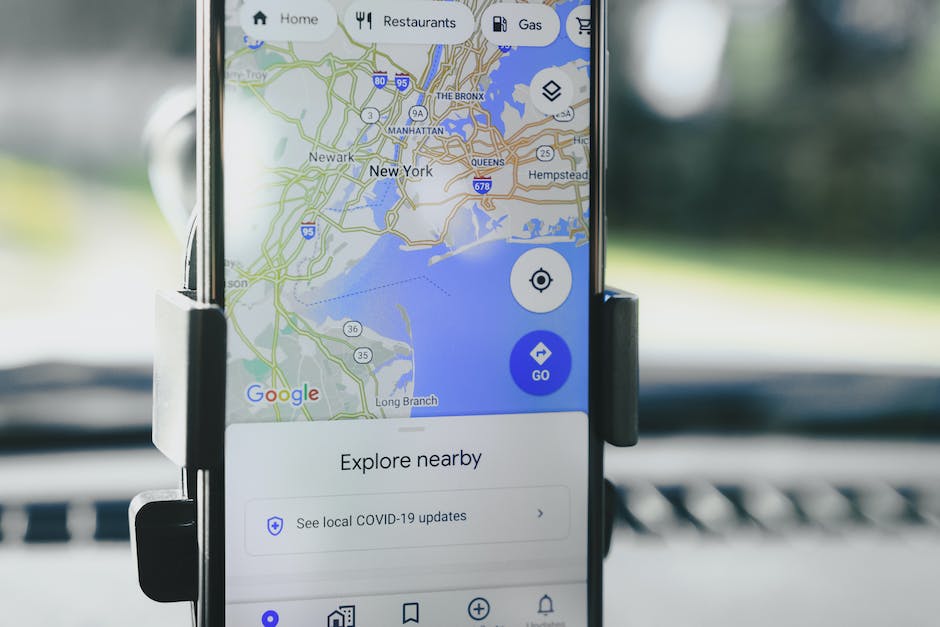
The first step to using Google Maps for public transportation is to add your starting point and destination. This is really simple to do; all you need to do is enter the address or name of the place you’re starting from and the address or name of the place you’re going to. You can even use a point of interest or a business name instead of an address. Once you’ve done this, Google Maps will show you all the available public transportation options.
If you’re not sure exactly where you’re going, you can also use Google Maps to search for nearby points of interest. For example, if you’re not sure which train station to go to, you can search for “train station” and Google Maps will show you all the train stations that are nearby.
Choosing Your Preferred Mode of Transportation

Once you’ve added your starting point and destination, Google Maps will show you a list of different public transportation options. These can include trains, subways, buses, and even ferries. It’s important to choose the right mode of transportation based on factors such as speed, comfort, and cost.
If you’re not sure which mode of transportation to choose, Google Maps can help you with that too. You can compare the different options based on factors such as travel time, number of transfers, and cost.
Viewing the Route and Estimated Travel Time

Once you’ve chosen your preferred mode of transportation, Google Maps will show you the best possible route from your starting point to your destination. This includes directions for walking to and from public transportation stops. Additionally, Google Maps will provide you with an estimated travel time based on the mode of transportation you choose.
If you want more detailed information about your route, you can also view a step-by-step list of directions. This will show you exactly where to get on and off your public transportation, as well as any stops you need to make along the way.
Checking for Transit Delays

There’s nothing worse than getting stuck on a delayed bus or train. Luckily, Google Maps can help you avoid this problem. The app uses real-time data to keep you informed about public transportation delays and alerts. This way, you can plan your trip accordingly and arrive at your destination on time.
If you’re using Google Maps to plan your trip in advance, you can also check for delays ahead of time. Simply enter your starting point and destination, and Google Maps will show you any alerts or delays that are currently affecting your route.
Saving Your Favorite Public Transit Routes

If you use the same public transit route frequently, it can be a hassle to enter it in every time you travel. However, with Google Maps, you can save your favorite routes and access them quickly and easily from the app menu. This can save you time and hassle, especially if you’re traveling in an unfamiliar area.
You can also save different routes for each mode of transportation. For example, if you take the bus to work but the train to visit family, you can save both routes separately so that you can access them easily when you need them.
Customizing Your Public Transport Preferences
Google Maps allows you to customize your public transport preferences to match your needs. This means that you can set your preferred mode of transportation, choose the fewest transfers, and even prioritize routes with wheelchair accessibility. By customizing your preferences, you can improve your travel experience and get around more efficiently.
If you have specific needs or requirements, such as the need for wheelchair accessibility or the need for a specific type of public transportation, you can also filter your search results accordingly. This can help you find the right mode of transportation quickly and easily.
Using Street View to Find Transit Stations

If you’re not sure where the nearest public transit station is, Google Maps’ Street View feature can be really helpful. Street View lets you see your location in a street-level view, making it easier to spot public transit stops and entrances. This can be especially helpful if you’re in an unfamiliar area and don’t know where to look for transportation.
To use Street View on Google Maps, simply drag the little yellow person icon onto the map where you want to look. You can then move the icon around to get a better view, and zoom in or out to see more or less detail.
Using Google Maps Offline

If you’re traveling to a foreign country or going to an area with spotty internet, you can still use Google Maps for public transportation. You can download entire city maps, complete with public transit routes, and access them offline. This way, you won’t get lost and can save on roaming charges.
To use Google Maps offline, simply download the area you need when you have an internet connection. Once you’ve done this, you’ll be able to access the map and your public transportation routes without an internet connection. However, keep in mind that you won’t be able to get real-time data on delays or alerts without an internet connection.
Using Google Assistant for Public Transit

If you have an Android phone, you can use Google Assistant to help you navigate public transportation. Simply say “Hey Google, how do I get to [destination] by public transit?” and Google Assistant will provide you with real-time transit information. This can be really helpful when you’re on the go and don’t have time to look up transit information manually.
In addition to providing you with transit information, Google Assistant can also help you book a ride with services like Uber or Lyft. Simply say “Hey Google, book me a ride” and Google Assistant will help you arrange transportation.
Tapping Into Google’s Local Knowledge

Google Maps uses local knowledge to provide you with more accurate and relevant public transportation directions. This includes real-time data on traffic, road works, and public transit schedules. By tapping into Google’s local knowledge, you can have a smoother and more hassle-free travel experience.
In addition to using Google Maps to plan your public transportation routes, you can also use it to explore your surroundings. The app can show you nearby points of interest, local businesses, and even suggested walking routes. This can be a great way to discover hidden gems in your destination city.


 You might also be interested in those articles related to solo traveling